A complete Akyaka guide connecting the Azmak River, beach, distinctive architecture, food, accommodation and transport in realistic routes.
Walk this route
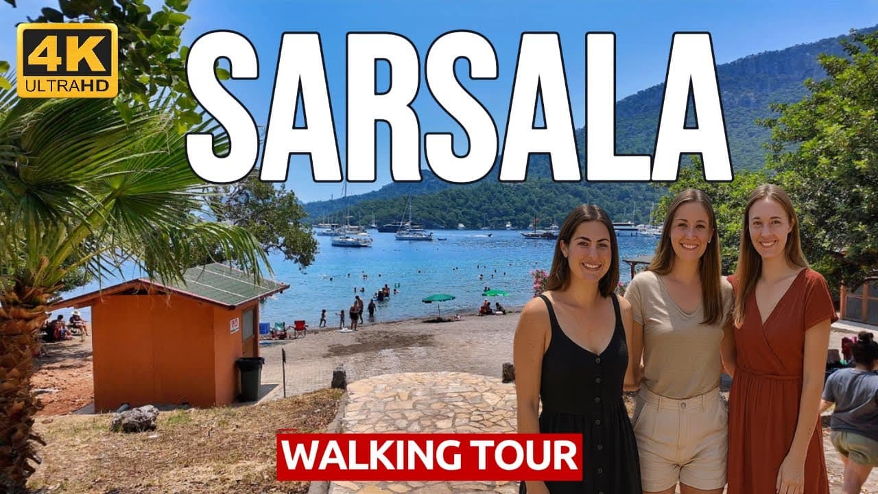
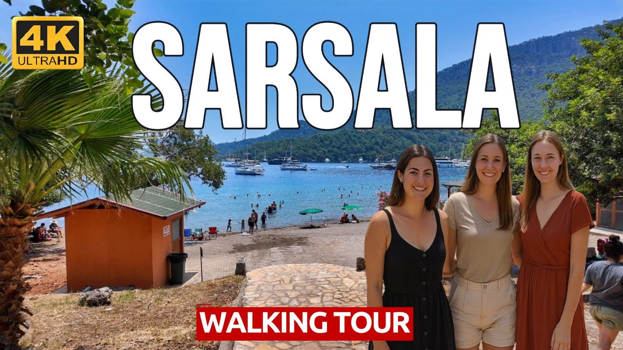
🇹🇷 Muğla, Sarsala Beach Walking Tour - Crystal Clear Waters & Stunning Hidden Cove 4K 60fps
Watch the 4K walkPlaces on the map
10 pinsNumbers match the order in the article. Tap a pin for directions.
Best Things to Do in Akyaka: Azmak, the Beach and Gokova
People who take Akyaka for just a beach resort miss the town's real magic. The icy, crystal-clear water of the Azmak River, reaching the sea within a short distance, turned this town in the district of Ula into the first place in Turkey to hold the "Slow City" (Cittaslow) title. Akyaka is not a holiday complex but a town that keeps its own architectural identity, with wooden-balconied Ula houses, a reed-lined river and a windsurfing bay; the real task is to match that calm.
This guide is written for a first visit, but not for the traveller who wants to pass Akyaka in "a midday beach, then on down the road." Akyaka's flavour is hidden in a breakfast by the Azmak, a boat trip along the river and the town streets in the evening. This guide groups places along the river and the bay, and you should build your days slowly.
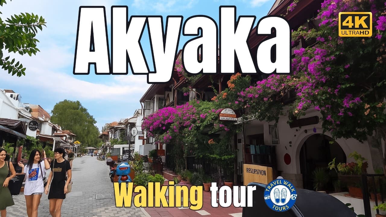
The channel recorded Akyaka's coastal town, the Azmak riverside and the forest walk on camera. The distances below are measured straight-line from central Akyaka; on the bay and forest routes the real drive takes longer. The numbers match the pins on the map exactly.
Quick Answer
Akyaka is small; the centre, the Azmak and the beach fit comfortably into one day. The town is lived slowly, so do not rush. The wind picks up in the afternoon, and the mornings are calm.
- **First visit:** Day 1 the Azmak, the beach and the town streets, Day 2 the Gokova bay coves and the forest.
- **Base:** Central Akyaka; the Azmak and beach are within walking distance.
- **Car-free:** The centre, Azmak and beach are walkable; a car or boat is easier for the nearby coves.
Understanding Akyaka in Five Minutes
Akyaka's identity comes from both its nature and its architecture. The town's symbol, the Azmak River, is an extraordinarily clear waterway where icy fresh water rising from underground meets the sea over a short distance; the plants and fish on its bed show clearly through the water. The river is lined with reeds and is the heart of the town's ecosystem.
Its architectural identity comes from the Ula houses. Akyaka gained a coherence through the traditional wooden-balconied, hip-roofed local architecture revived by the architect Nail Cakirhan in the 1980s; this effort preserved the town's fabric, and Akyaka received Turkey's first Cittaslow (Slow City) title. Houses hidden among the trees instead of high-rise concrete set the town apart from its neighbouring resorts.
Knowing this context changes Akyaka. Sitting by the Azmak, you understand why the water is so clear; walking the town streets, why the houses all speak the same wooden language; on Gokova bay, why it draws windsurfers. Akyaka hides its quality not in display but in water and wood.
Central Akyaka, the Azmak and the Beach
The centre is small and walkable; the Azmak, the beach and the town streets are all together. The stops below are very close to one another.
1. Central Akyaka and the Cittaslow Streets
The heart of the town; the fabric of Turkey's first Slow City, with wooden-balconied Ula houses, narrow streets and bougainvillea gardens. There is no large hotel or concrete block in the centre; every building follows the same architectural language. Walking the streets tells you, step by step, why the town is a Cittaslow.
- **Getting there:** The town's ground zero; reached by minibus from the Mugla and Marmaris directions (0 km).
- **Best time:** Morning and late afternoon; the streets come alive once the midday heat passes.
- **While you're here:** The Azmak (2) and the beach (3) are within walking distance.
- **Budget:** Wandering the streets is free; cafes are mid-range.
- **Common mistake:** Seeing Akyaka only for its beach. The wooden-house streets are the town's real identity.
2. Azmak River
Akyaka's symbol and its clearest waterway. Icy fresh water rising from underground meets the sea within a short distance through the reeds; the water is so clear that the plants and fish on the bottom show plainly. The riverside restaurants and boat jetties are Akyaka's most beloved corner. You can travel along the river by rowboat or small boat.
- **Getting there:** A few minutes' walk from the centre (1); the river is at the edge of the town (0 km).
- **Best time:** Morning, when the water is still and the clarity is highest.
- **While you're here:** The centre (1) and beach (3) adjoin it; boat trips leave from the river.
- **Budget:** The riverside walk is free; restaurants and boats are mid-range.
- **Common mistake:** Only eating by the river and moving on. See the water's clarity up close by rowboat or boat.
3. Akyaka Beach
The Blue Flag beach beside the centre and the shallow, clear water of Gokova bay. With its long sand-and-pebble strip, organised facilities and shallow sea, it suits families. The Gokova wind that rises in the afternoon turns this beach into one of Turkey's important centres for windsurfing and kitesurfing.
- **Getting there:** On foot from the centre (1) and the Azmak (2); the shore is at the edge of the town (0 km).
- **Best time:** Morning for the calm sea; afternoon for windsurfing.
- **While you're here:** The Azmak (2) meets the sea at one end of the beach.
- **Budget:** There are free sections of the beach; facilities and surf schools are separate.
- **Common mistake:** Coming without knowing the wind. Go in the morning for a calm sea, in the afternoon for surfing.
4. Kadin Azmagi
The second clear stream north of Akyaka; similar to the Azmak but calmer and less known. Flowing through the reeds, this water is a stop on boat trips and an ideal spot for nature and bird watching. A serene alternative away from the crowd of the main Azmak.
- **Getting there:** By car or boat north from the centre (1); 4 km from the centre.
- **Best time:** Morning; the water is clear and the birds active.
- **While you're here:** Gokova bay (5) and the forest (7) are nearby.
- **Budget:** The nature area is free; varies by boat trip.
- **Common mistake:** Seeing only the main Azmak and skipping this; Kadin Azmagi offers a calmer clarity.
5. Gokova Bay
The sheltered bay Akyaka opens onto; the centre of sailing and boat trips with its coves, clear water and wind. The hidden coves lining the bay are explored by boat; calm in the morning, windy in the afternoon. This sheltered water between the Bodrum and Datca peninsulas is also on the route of blue-cruise sailing trips.
- **Getting there:** By boat from Akyaka harbour (1) into the bay; the coves begin 4 km out.
- **Best time:** Morning by boat, when the sea is calm.
- **While you're here:** Akbuk cove (6) is inside the bay; Kadin Azmagi (4) to the north.
- **Budget:** Boat trips are mid-to-upper.
- **Common mistake:** Expecting a calm boat trip in the afternoon; the wind rises, and the morning trip is more peaceful.
6. Akbuk Cove (Gokova)
The quiet cove inside Gokova bay; a camping and resting spot backed by pine forest with clear water. Reached from Akyaka by boat or car; with its quiet and clean sea, it is the choice of those escaping the crowd. One of the bay's most peaceful corners.
- **Getting there:** By car or boat through the bay from the centre (1); 9 km from the centre.
- **Best time:** Midday, for swimming and rest.
- **While you're here:** Gokova bay (5) on the boat route.
- **Budget:** The cove is cheap; camping and facilities are mid-range.
- **Common mistake:** Confusing it with Akyaka beach; Akbuk is a separate cove, quieter and more natural.
7. Gokova Forest and Walking
The pine forest surrounding Akyaka and its nature walking routes. In the forest right behind the town there are shaded paths, birdsong and viewpoints over the bay. Ideal for cooling off in the summer heat and living the Cittaslow spirit on foot.
- **Getting there:** On foot from the centre (1) to the forest paths; 4 km in from the centre.
- **Best time:** Morning and late afternoon; the forest is shaded even at midday.
- **While you're here:** Inisdibi (8) and the Sakar pass (9) are nearby for the view.
- **Budget:** Free.
- **Common mistake:** Setting out without water and proper shoes; the paths are rocky and hot in summer.
8. Inisdibi
The recreation and nature area at the foot of the Sakar pass, where the road descends to Akyaka from the Mugla direction. A local picnic corner with plane trees, cold-water springs and shaded seating. The first green stop after the steep descent of the pass; a breath before entering Akyaka.
- **Getting there:** On the climb towards Mugla from the centre (1); 2 km from the centre.
- **Best time:** Midday and afternoon, for shade and cold water.
- **While you're here:** The Sakar pass viewpoint (9) is just above.
- **Budget:** The recreation area is cheap.
- **Common mistake:** Descending the pass fast and skipping it; a short break makes the entry to town pleasant.
9. Sakar Pass Viewpoint
The panoramic terrace at the top of the road descending from Mugla to Akyaka. From here the whole of Gokova bay, Akyaka and the mountains opposite stretch in a single frame; one of the region's best-known viewpoints. Stopping to see the bay from above, before descending to town or on the way out, is the classic start to a trip.
- **Getting there:** On the Mugla-Akyaka road, at the top of the pass; 4 km from the centre.
- **Best time:** Sunset; the bay and sea catch the light.
- **While you're here:** Inisdibi (8) at the foot of the pass.
- **Budget:** Free.
- **Common mistake:** Passing without stopping; you see the whole of Akyaka only from here, from above.
10. Ula Centre
The district centre to which Akyaka belongs; the inland town with traditional Ula houses and its market. The original examples of the wooden-balconied houses that gave their name to Akyaka's architectural identity are here. Not touristy; its real value is in the window it opens onto the region's daily life and architectural root.
- **Getting there:** By car towards Mugla from the centre (1); 10 km from the centre.
- **Best time:** Market day; the local market is held.
- **While you're here:** The Sakar pass (9) is on the road.
- **Budget:** Cheap.
- **Common mistake:** Skipping Ula; valuable for those who want to see the origin of Akyaka's architecture.
How Many Days for Akyaka
- **1 day:** The Azmak, the beach and the town streets.
- **2 days:** Add a Gokova bay boat trip and a forest walk.
- **3 days:** Akbuk cove, Kadin Azmagi and the surrounding nature routes.
For detail, see [How many days for Akyaka: a 1-2-3 day itinerary](/travel-guides/how-many-days-in-akyaka-1-2-3-day-itinerary).
Classic Mistakes
- **Taking Akyaka for just a beach.** The town's identity is in its wooden houses, its Azmak and the Cittaslow spirit.
- **Coming without knowing the wind.** The Gokova wind rises in the afternoon; morning for a calm sea, afternoon for surfing.
- **Only eating at the Azmak.** See the river's clarity up close by rowboat or boat.
- **Not stopping at the Sakar pass.** You see the whole bay only from the viewpoint terrace above.
- **Setting out on the forest walk unprepared.** Take water and proper shoes; the paths are rocky and hot in summer.
Bad-Weather Plan
Akyaka is hot and sunny in summer. On very windy days the sea and boats may struggle, but the Azmak (sheltered water) and the town streets can still be visited. Rain is rare; if it comes, the riverside restaurants, the Ula houses and the forest shade offer a dry alternative. The wind is an advantage for surfers, but those seeking a calm sea should prefer the morning.
Where to Stay
**Central Akyaka** is ideal for a first visit: the Azmak, the beach and the wooden-house streets all together. The guesthouses by the river and at the forest edge offer garden and calm. There are no large hotels; the town's fabric is mostly boutique and guesthouse. For detail, see [Where to stay in Akyaka: Azmak, beach, quiet streets](/travel-guides/where-to-stay-in-akyaka-best-areas).
Transport and Car-Free Akyaka
The nearest airport to Akyaka is Dalaman; it is reached by minibus via Mugla and Marmaris. The centre, Azmak and beach are walkable; the town is small. A boat adds comfort for the Gokova bay coves, a car for the surrounding nature spots. For detail, see [Car-free Akyaka: transport, walking guide](/travel-guides/akyaka-without-car-transport-walking-guide).
Get to Know the Route Through Real Footage
The channel recorded Akyaka's coastal town, the Azmak riverside and the forest walk in continuous 4K footage. Seeing the town, the river and the forest before you go makes your plan realistic.
Frequently Asked Questions
**How many days do you need for Akyaka?** One day is enough for the Azmak, the beach and the town. With Gokova bay and the nearby coves it stretches to 2-3.
**What is the Azmak River?** An extraordinarily clear river where icy fresh water rising from underground meets the sea over a short distance. The plants and fish in the water show plainly; it is explored by rowboat and boat.
**Is Akyaka good for windsurfing?** Yes. The Gokova wind rises regularly in the afternoon; Akyaka is one of Turkey's important windsurfing centres. For a calm sea, prefer the morning.
**Where should you stay in Akyaka?** The centre for a first visit; the Azmak, the beach and the wooden-house streets together. There are no large hotels; it is mostly boutique and guesthouse.
**When is the best time to visit Akyaka?** Spring and autumn are the most balanced; the heat breaks and nature is comfortable to walk. Summer is good for the beach and surfing, but the centre is hot at midday.
Planning questions
What does this Muğla guide cover?
A complete Akyaka guide connecting the Azmak River, beach, distinctive architecture, food, accommodation and transport in realistic routes.
Can I watch a 4K walking tour of Muğla?
Yes. The page links to Travel Walk Tours films so you can preview the Muğla route on a big screen before you go.
How should I use this page to plan?
Read the quick answer first, skim the route notes, then compare street texture, timing, and nearby guides through the linked city page and walking films.